Little Yosemite Valley
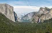
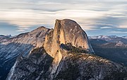
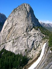
Valley in Mariposa County, CaliforniaLittle Yosemite Valley is a smaller glacial valley upstream in the Merced River drainage from the Yosemite Valley in Yosemite National Park. The Merced River meanders through the 3.5 mi (5.6 km) long flat valley, draining out over Nevada Fall and Vernal Fall before emptying into the main Yosemite Valley. It can be reached by a day hike from the main valley, and is the most popular area in the Yosemite Wilderness. The Valley provides access to nearby destinations such as the back side of Half Dome, Clouds Rest and the High Sierra Camp at Merced Lake.
Read article
Top Questions
AI generatedMore questions
Nearby Places

Yosemite National Park
National park in California, United States

Half Dome
Granitic dome in Yosemite National Park, California

Mist Trail
Hiking trail in Yosemite National Park, California

Nevada Fall
Waterfall in CA, US

Vernal Fall
Waterfall on the Merced River in Yosemite National Park

Liberty Cap (California)
Granite dome in Yosemite National Park, California

Emerald Pool

Mount Broderick
Summit in Yosemite National Park


